
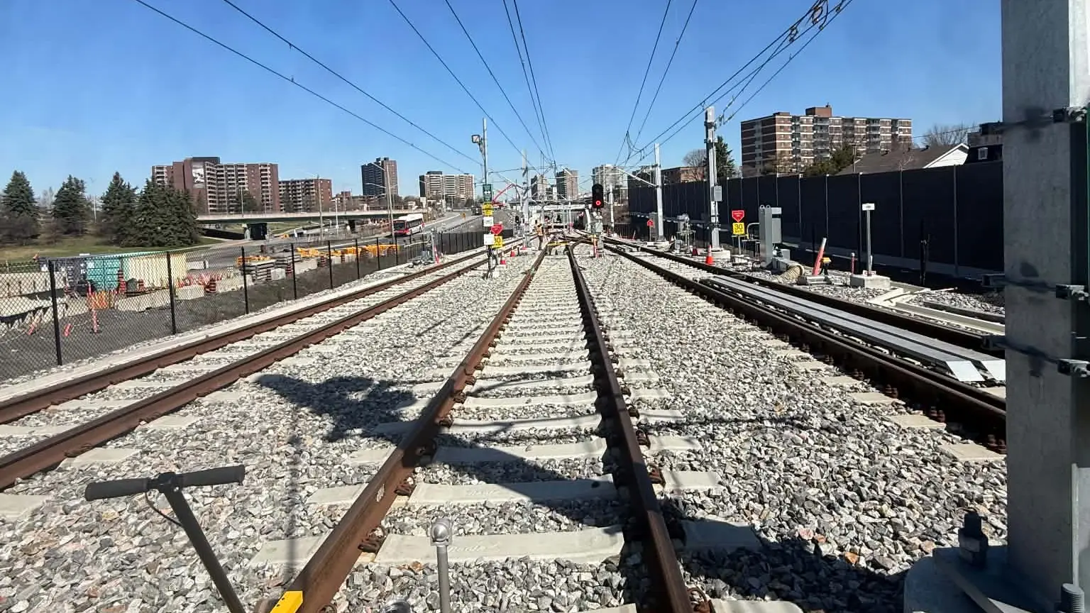
Rail surveying · Ottawa
Precision, on every rail.
G/O Geomatics measures, lays out and verifies rail and construction infrastructure with sub-centimetre accuracy — on the ground and in the air.
Aiming above expectations
- years of combined experience
- 30+years of combined experience
- track survey accuracy
- < 1 cmtrack survey accuracy
- specialized services
- 6specialized services
- bilingual service
- FR / ENbilingual service
Our specialty
Rail Geometry Survey
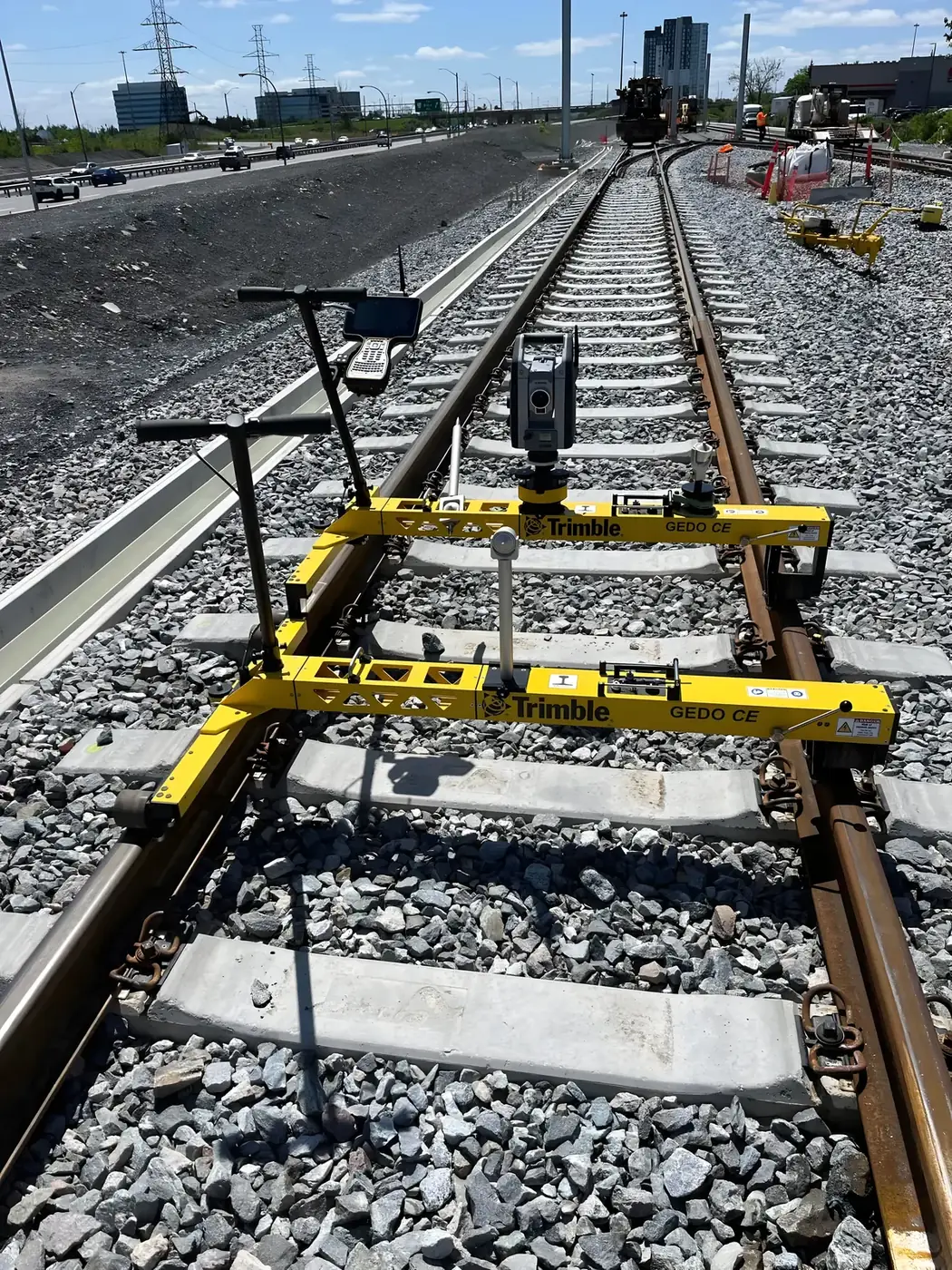
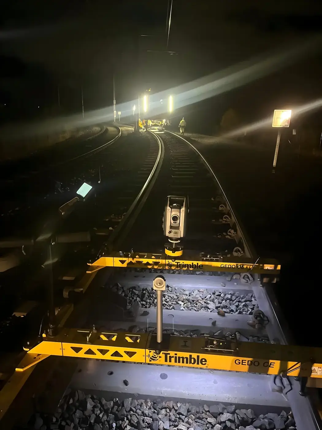
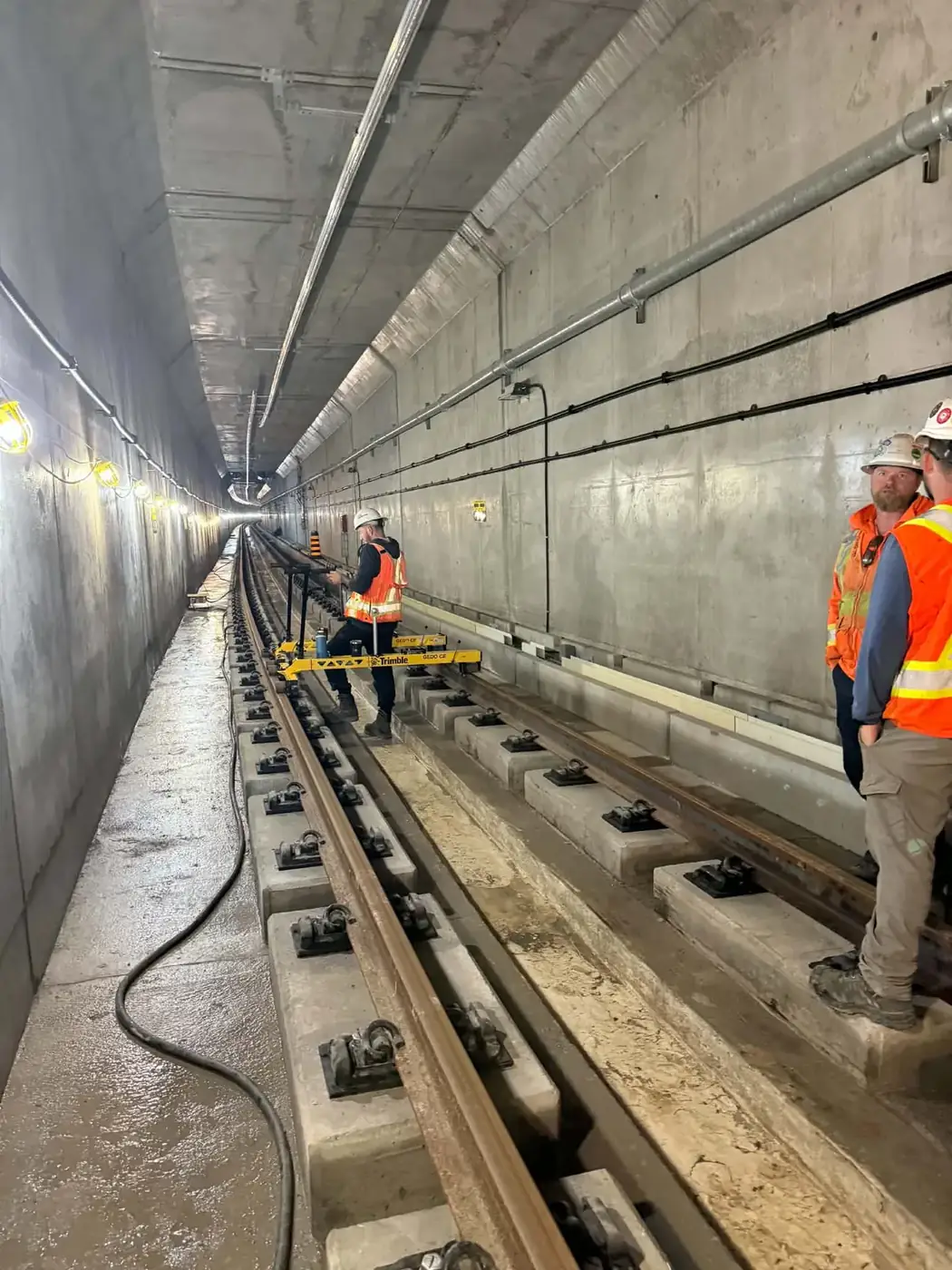
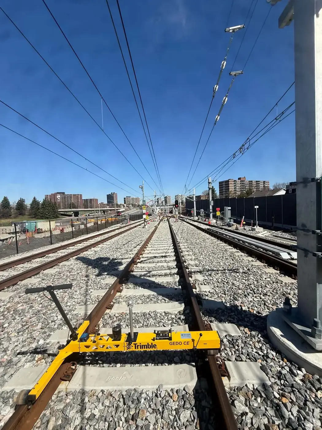
Our Rail Geometry Survey service combines GNSS positioning, robotic total stations and track measurement trolleys to collect accurate track geometry data. We analyze critical parameters — alignment, cant, curvature, vertical profile and gauge — to catch deviations before they become safety risks.
Alignment
Horizontal line
Cant
Rail superelevation
Curvature
Curve radii
Gauge
Distance between rails
Vertical profile
Longitudinal level
Result
A safe, compliant network
In the air
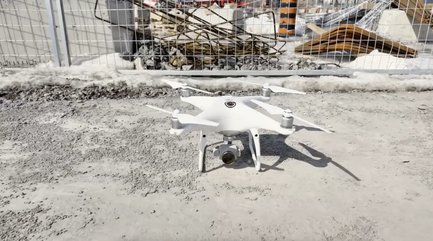
Advanced Drone Pilot Services
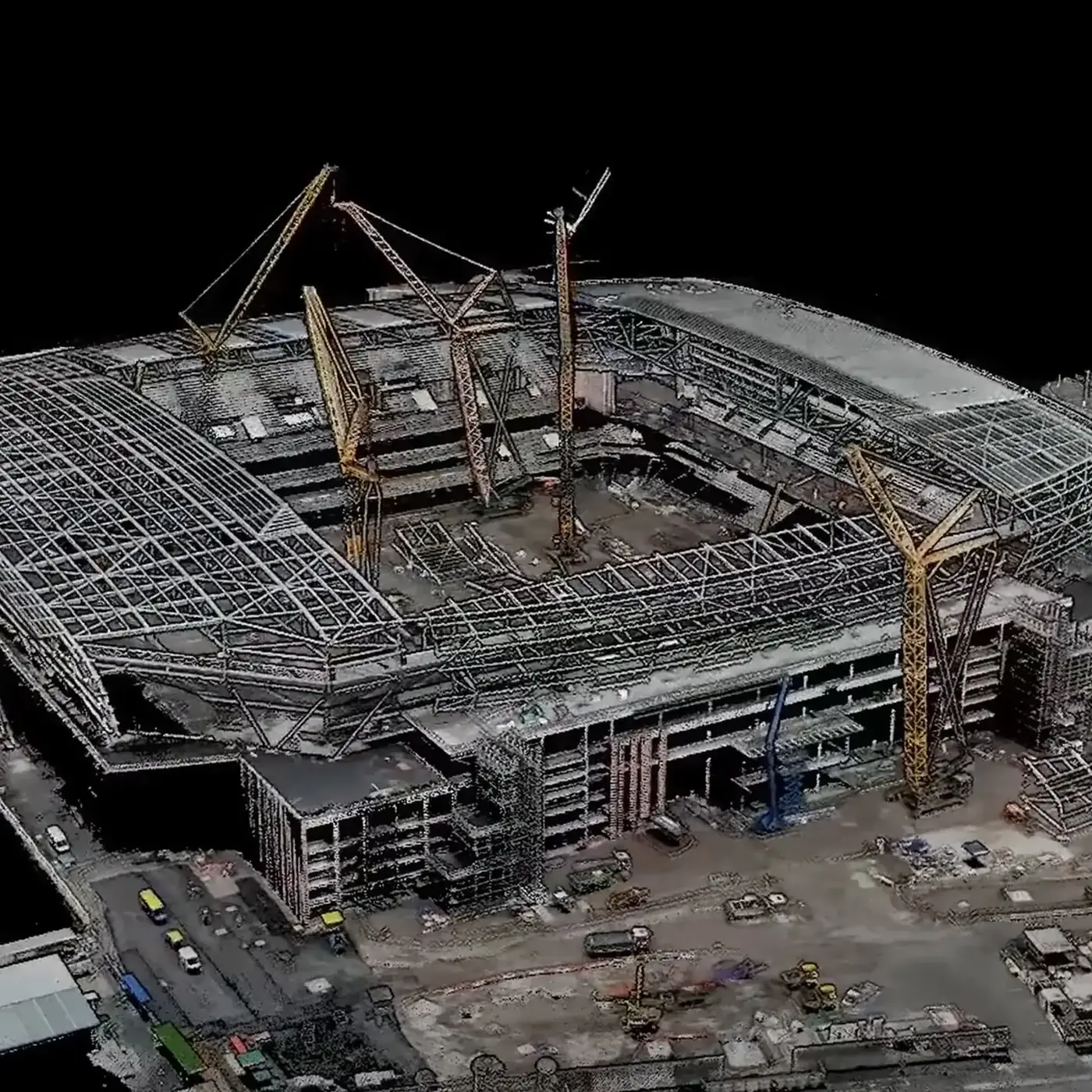
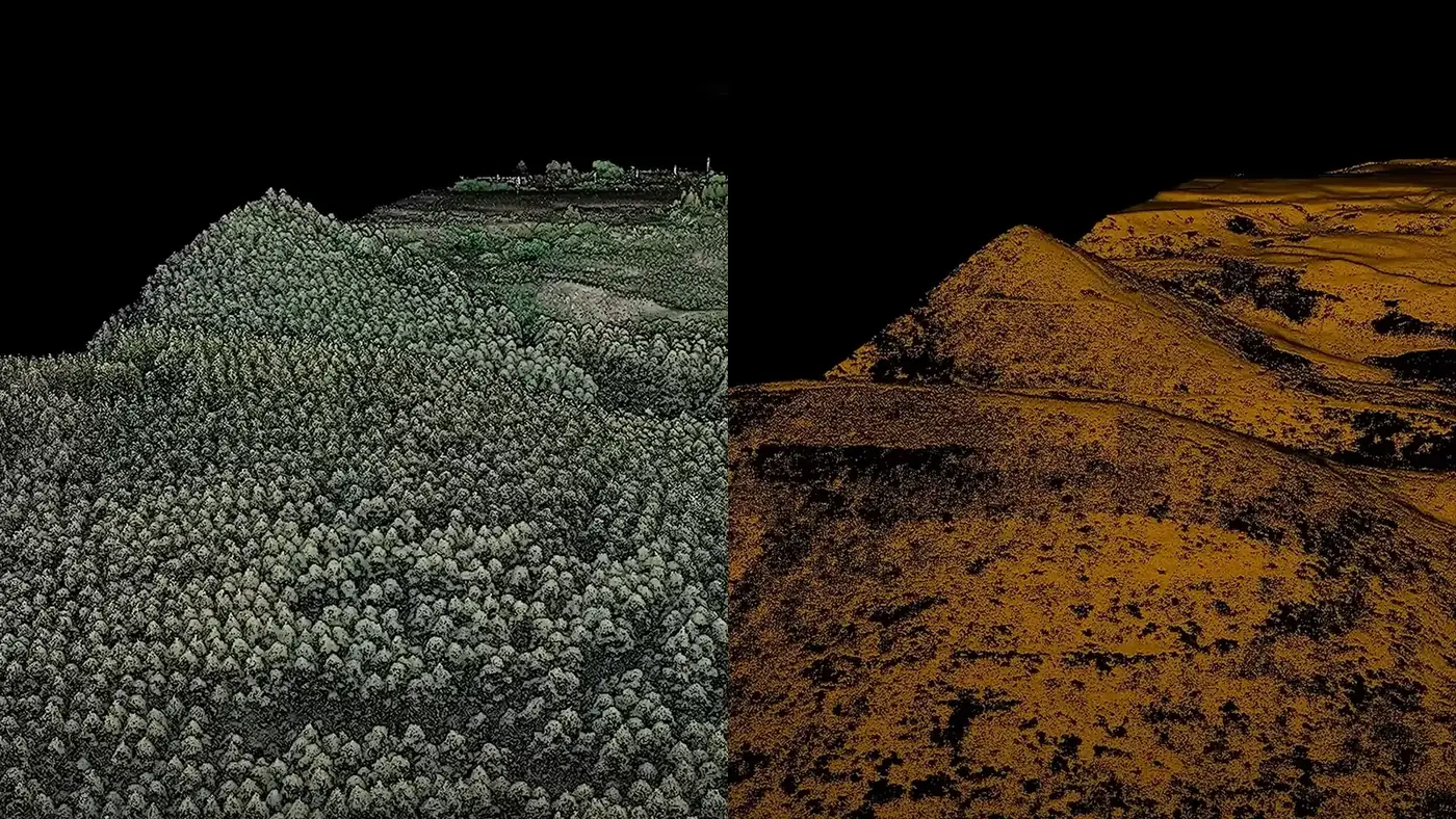
Our advanced drone pilot services deliver high-resolution aerial imagery and complete site data. Ideal for quickly covering large areas — rail corridors, construction sites, structures — without putting crews at risk.
- Photogrammetry and georeferenced orthophotos
- Point clouds and 3D models
- Volume calculations and site progress tracking
- Corridor and structure inspection
- Advanced drone operations
- Fast data delivery
Construction and infrastructure
Everything that needs measuring, from plan to as-built
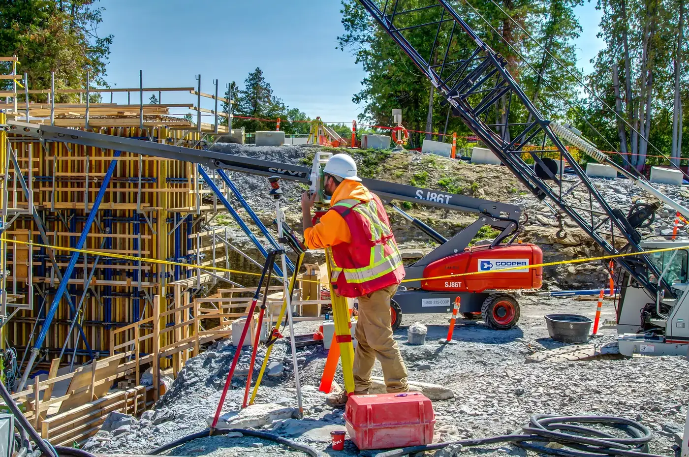
Construction Layout
Your plans transferred to the field accurately, from the first benchmark to the last piece.
Details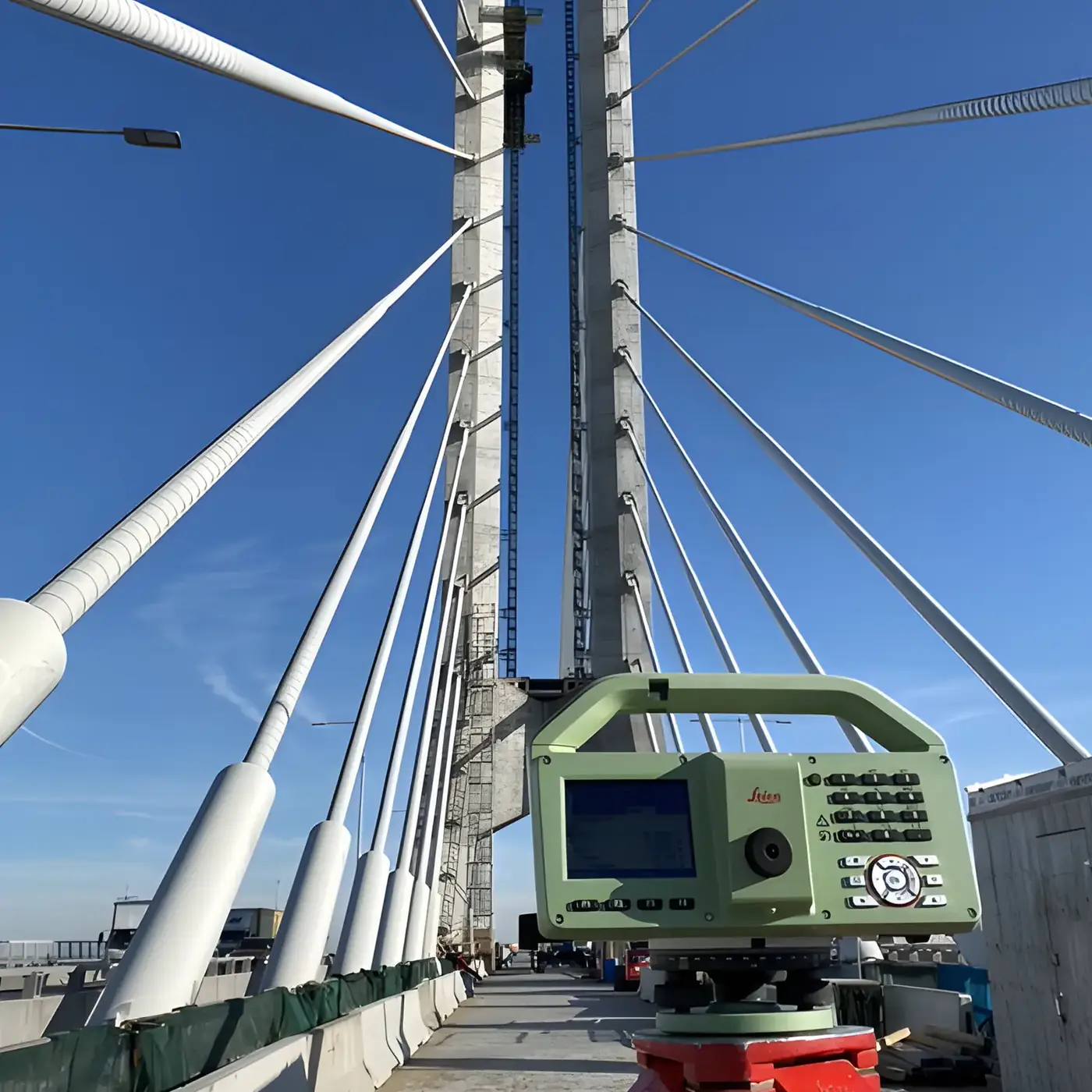
Quality Control & Monitoring
Rigorous inspections and continuous movement tracking to protect your investment.
Details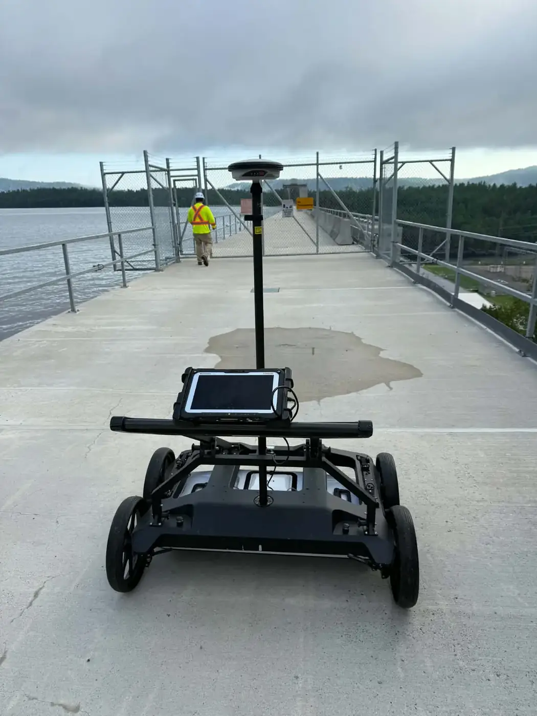
As-built & Topographic Surveys
Faithful documentation of existing ground and completed work.
Details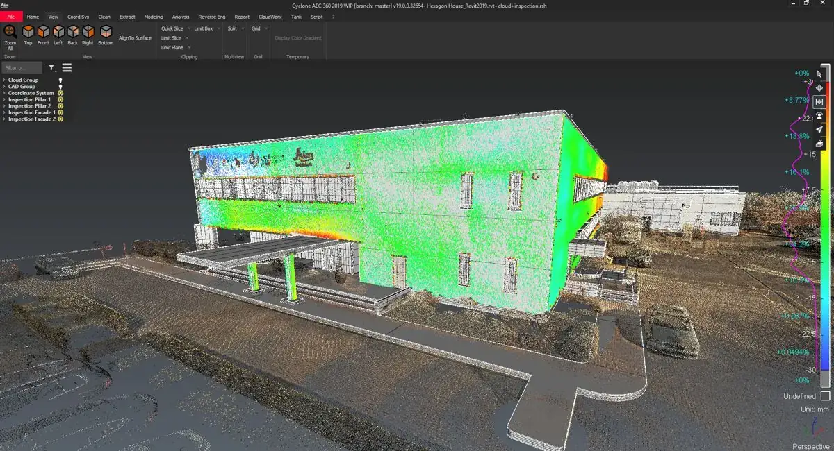
CAD Works & Calculations
Digital models, drawings and exact calculations for surprise-free planning.
DetailsWhy G/O
A team invested in your project’s success
Based in Ottawa since 2025, our team brings over 30 years of combined experience in rail surveying, infrastructure and construction. Safety, quality and precision guide every measurement.
- 01
Proven expertise
Over 30 years of combined experience on large-scale rail, infrastructure and construction projects.
- 02
Cutting-edge technology
Robotic total stations, GNSS, track measurement trolleys and drones: the right tool for every measurement.
- 03
Transparent communication
Tailored solutions, schedules that hold and clear deliverables, from start to finish.
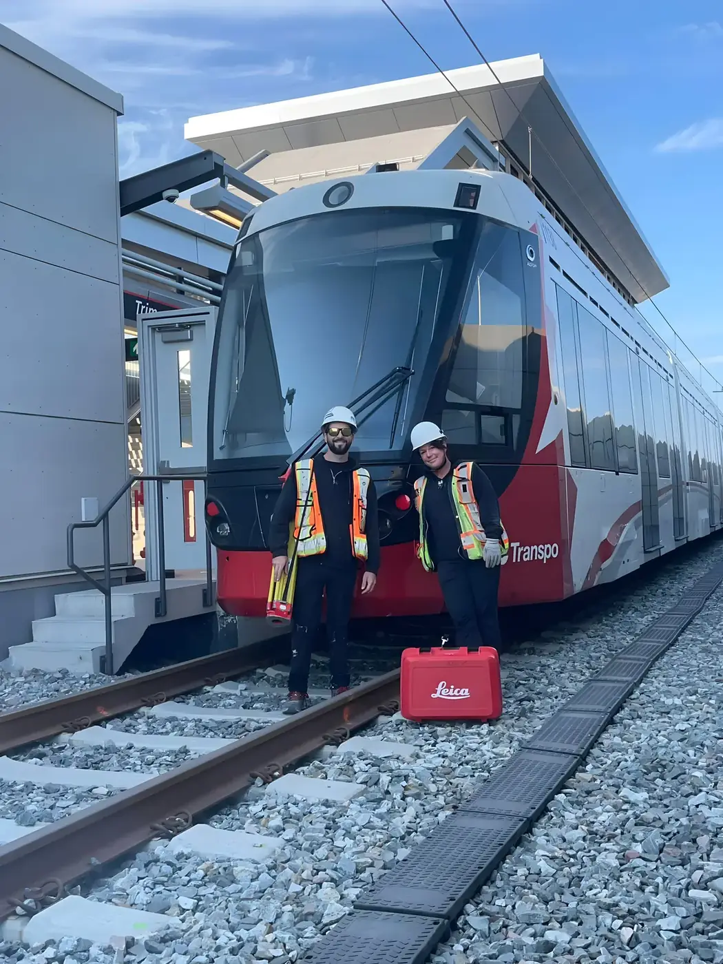
Our team has the grit and the skill to tackle any challenge — because we invest in our clients’ success.
Julien GalarneauFounder, G/O Geomatics
How we work
From quote to deliverables
- 1
Quote
You describe the project; we come back with a free, no-obligation quote.
- 2
Planning
Method, equipment, safety and schedule are set with your crews.
- 3
Field work
Our surveyors and drone pilots measure, lay out and verify on site.
- 4
Deliverables
Verified data, drawings and reports, delivered in your formats.
Projects
Precision, innovation and results in the field
A rail project or a site to measure?
Let’s talk. Free, no-obligation quote.