
Services
From rail to sky, measurements you can build on
Rail is our specialty, drones our edge. Around them, every geomatics service a construction project needs.
 Core service
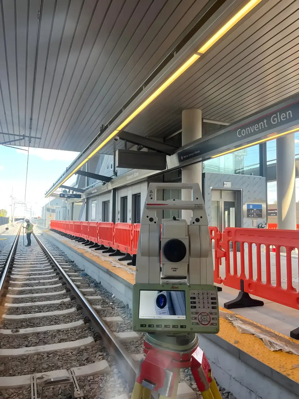
01 · Safety and precision at the heart of rail infrastructure.
Rail Geometry Survey
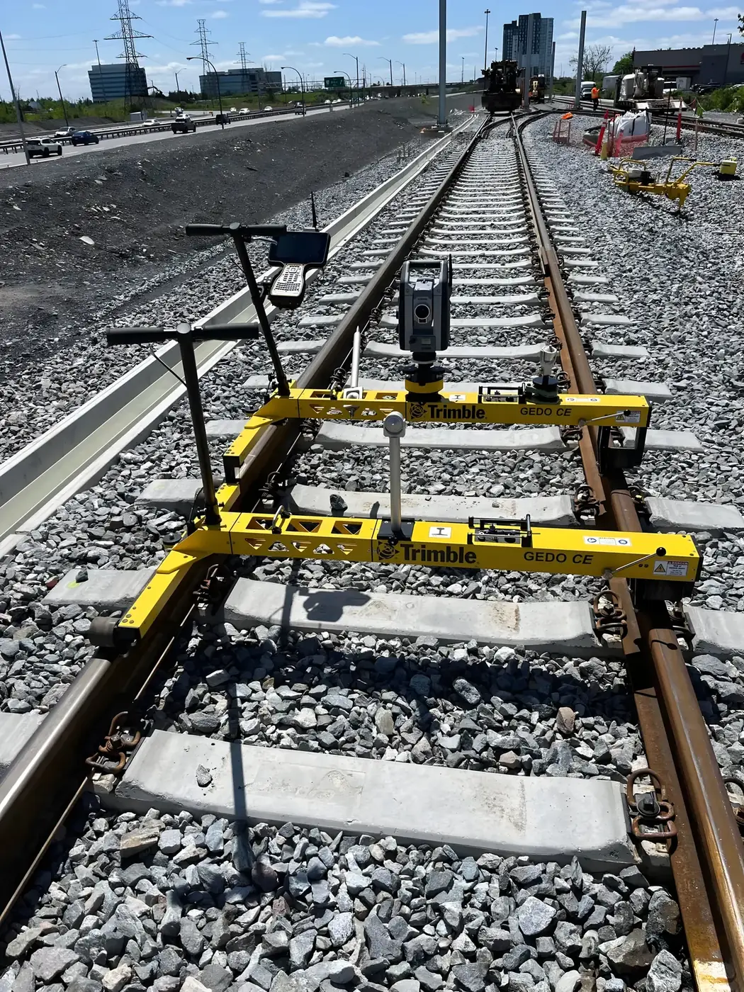
Our Rail Geometry Survey service combines GNSS positioning, robotic total stations and track measurement trolleys to collect accurate track geometry data. We analyze critical parameters — alignment, cant, curvature, vertical profile and gauge — to catch deviations before they become safety risks.
From a new light-rail segment to the maintenance of an existing track, we deliver reliable data that improves infrastructure reliability, optimizes maintenance and ensures compliance with railway standards.
- Alignment, cant, curvature and gauge
- Sub-centimetre accuracy
- Track measurement trolleys and robotic total stations
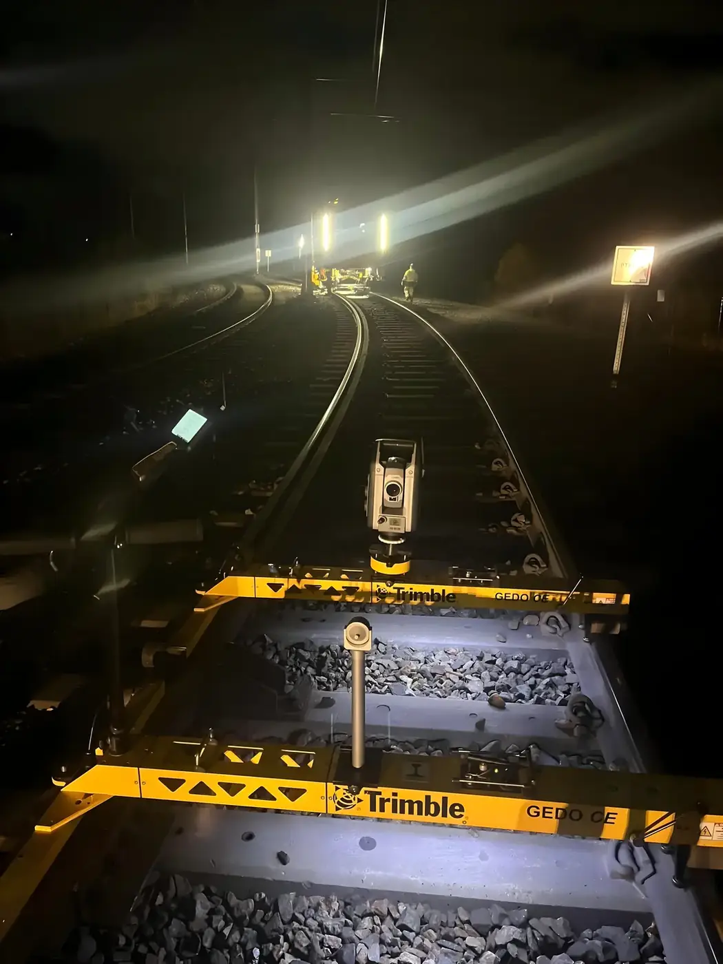
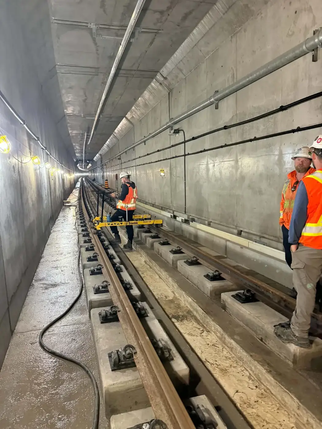
- Day and night work, in tunnels and stations
- Clear, actionable deviation reports
- Strict adherence to rail safety protocols
 Featured service
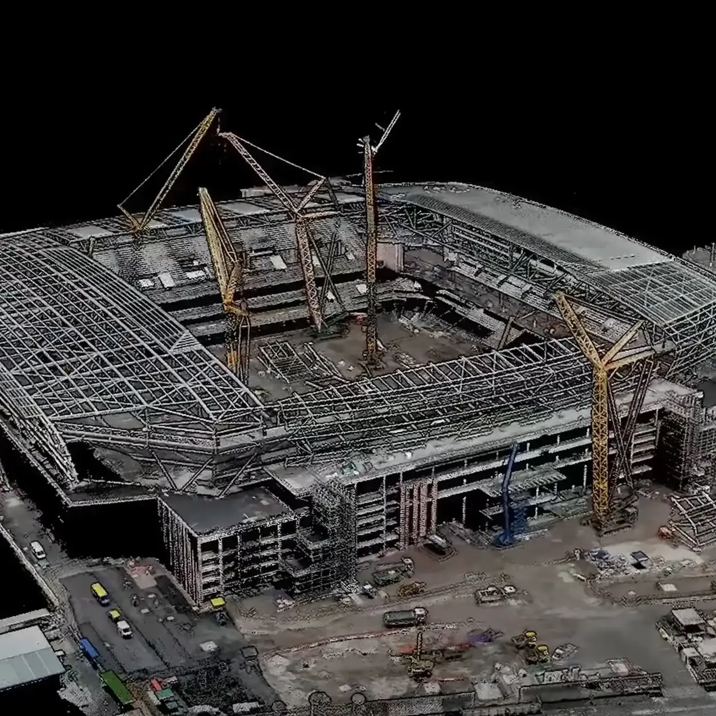
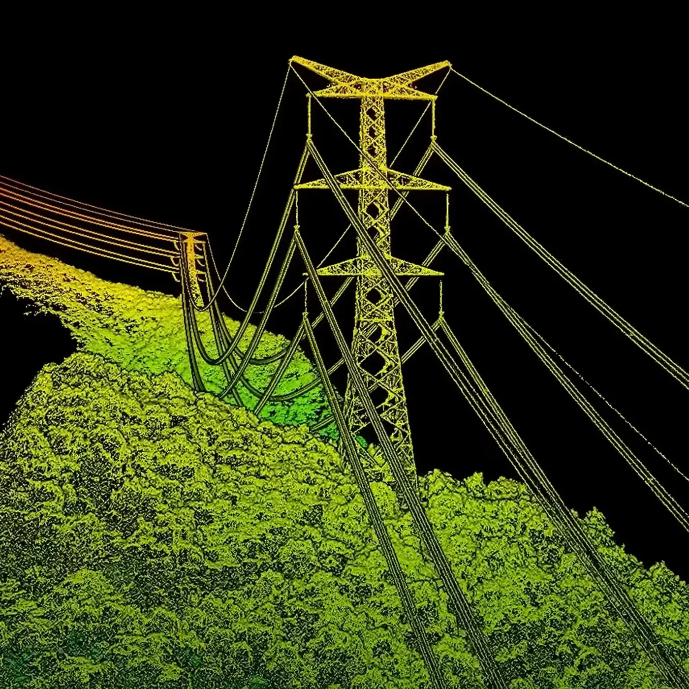
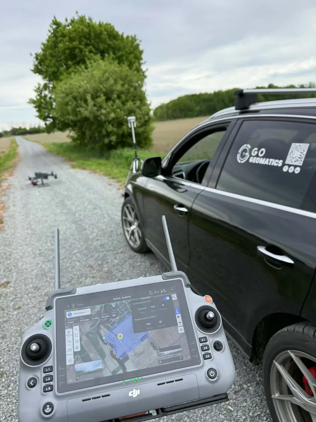
02 · A precise, measurable and safe bird’s-eye view.
Advanced Drone Pilot Services
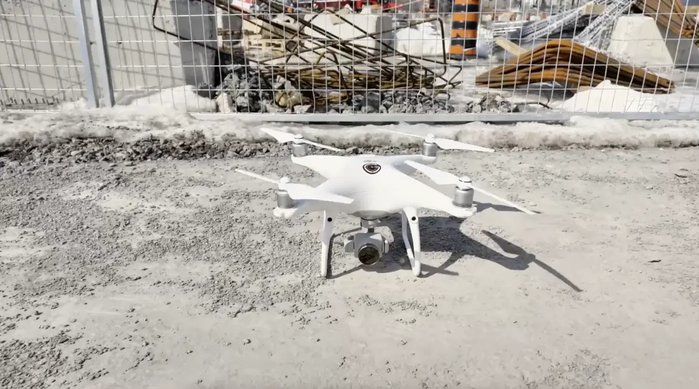
Our advanced drone pilot services deliver high-resolution aerial imagery and complete site data. Ideal for quickly covering large areas — rail corridors, construction sites, structures — without putting crews at risk.
Orthophotos, point clouds, 3D models and volume calculations: we turn every flight into usable deliverables for planning, tracking and analyzing your projects.
- Photogrammetry and georeferenced orthophotos
- Point clouds and 3D models
- Volume calculations and site progress tracking
- Corridor and structure inspection
- Advanced drone operations
- Fast data delivery
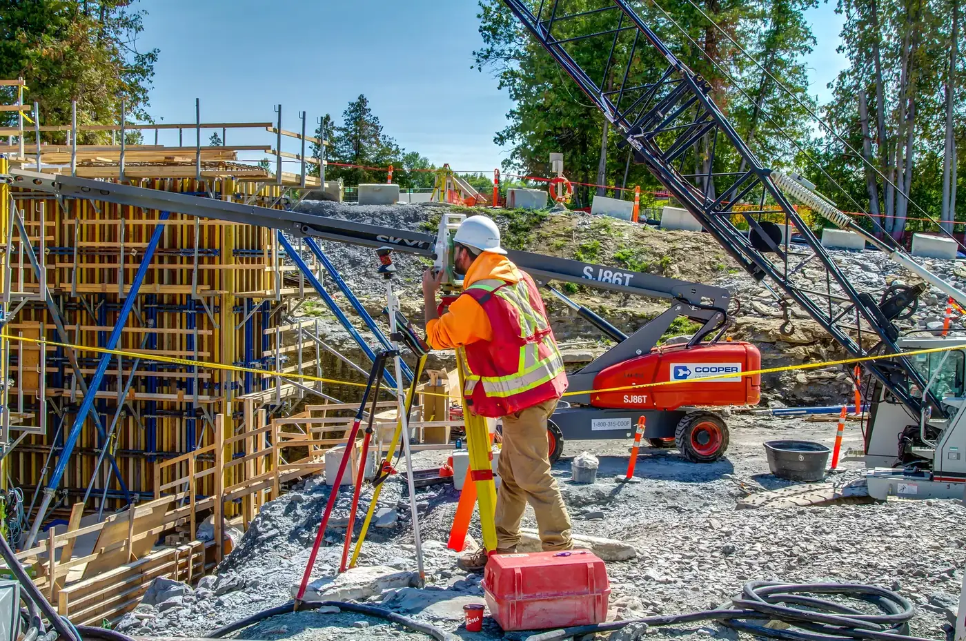
03 · Precise layout for successful projects.
Construction Layout
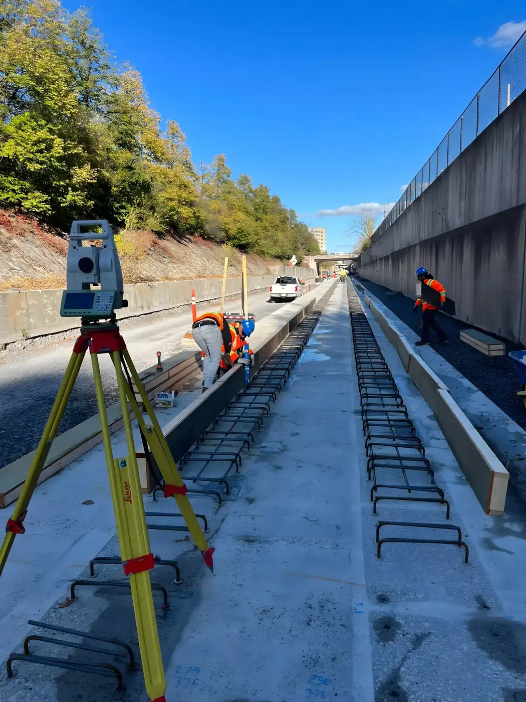
Our construction layout service ensures your design plans are accurately transferred to the field. Using GNSS, robotic total stations and laser-guided equipment, we set precise benchmarks that put your project on the right track — minimizing errors and delays.
- Bridges, structures and buildings
- Robotic total stations and GNSS
- Coordination with your crews
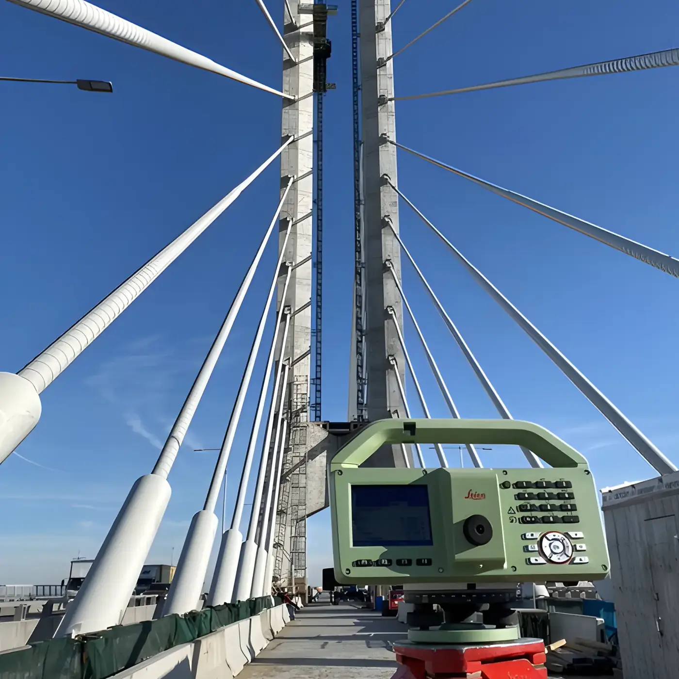
04 · Continuous oversight for optimal performance.
Quality Control & Monitoring
We verify that the built structure meets project tolerances, then track its behaviour over time. Inspections, control surveys and movement and deformation monitoring help detect deviations early and act before they become costly.
- Construction tolerance checks
- Movement and deformation monitoring
- Clear reports at every stage
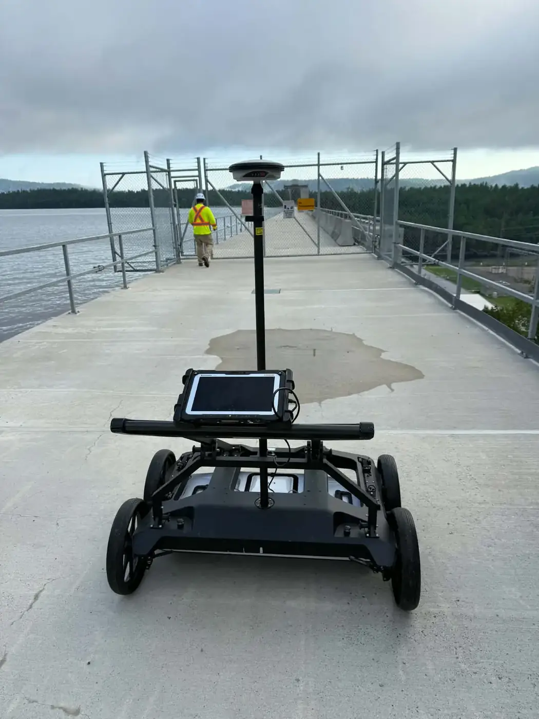
05 · Reliable records for today and tomorrow.
As-built & Topographic Surveys
Our topographic and as-built surveys capture every detail of your site and completed work. We provide precise, complete documentation of actual conditions for design, project close-out and future reference.
- Topographic surveys for design
- As-built drawings
- Data compatible with your software
06 · Expert technical support, from office to field.
CAD Works & Calculations
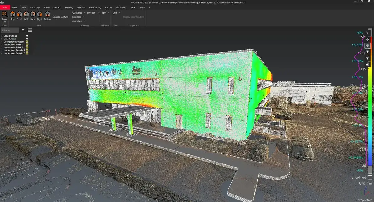
Our team provides expert technical support for your design and planning needs. We produce precise digital models, drawings and exact layout calculations so your project is flawlessly planned and executed.
- Drawings and digital models
- Layout and volume calculations
- Field data preparation